SE Hackamore and SE Secretariat Flood Control
Flood Control Works - Project
Project Description
SE Hackamore and SE Secretariat Flood Control
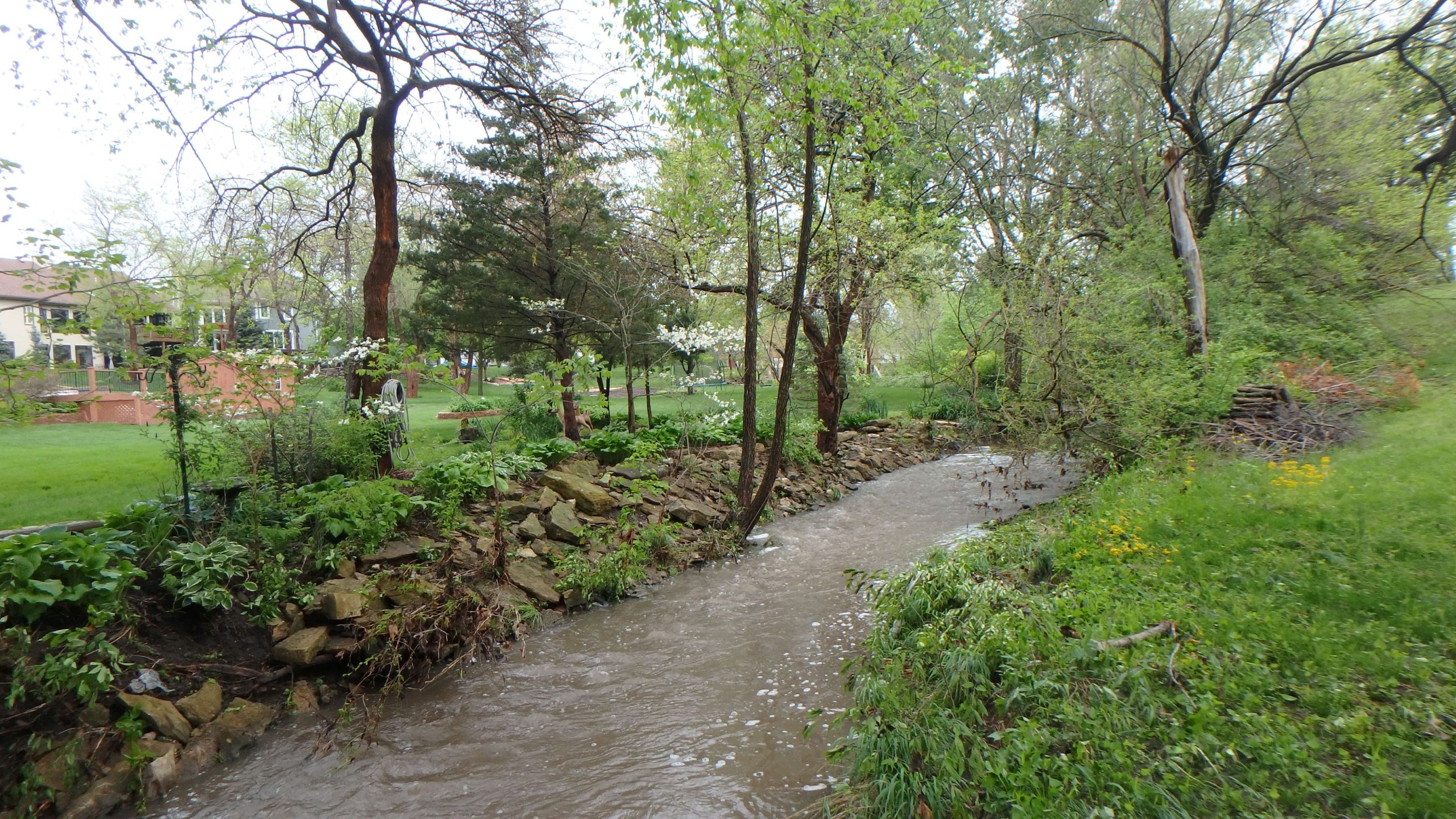
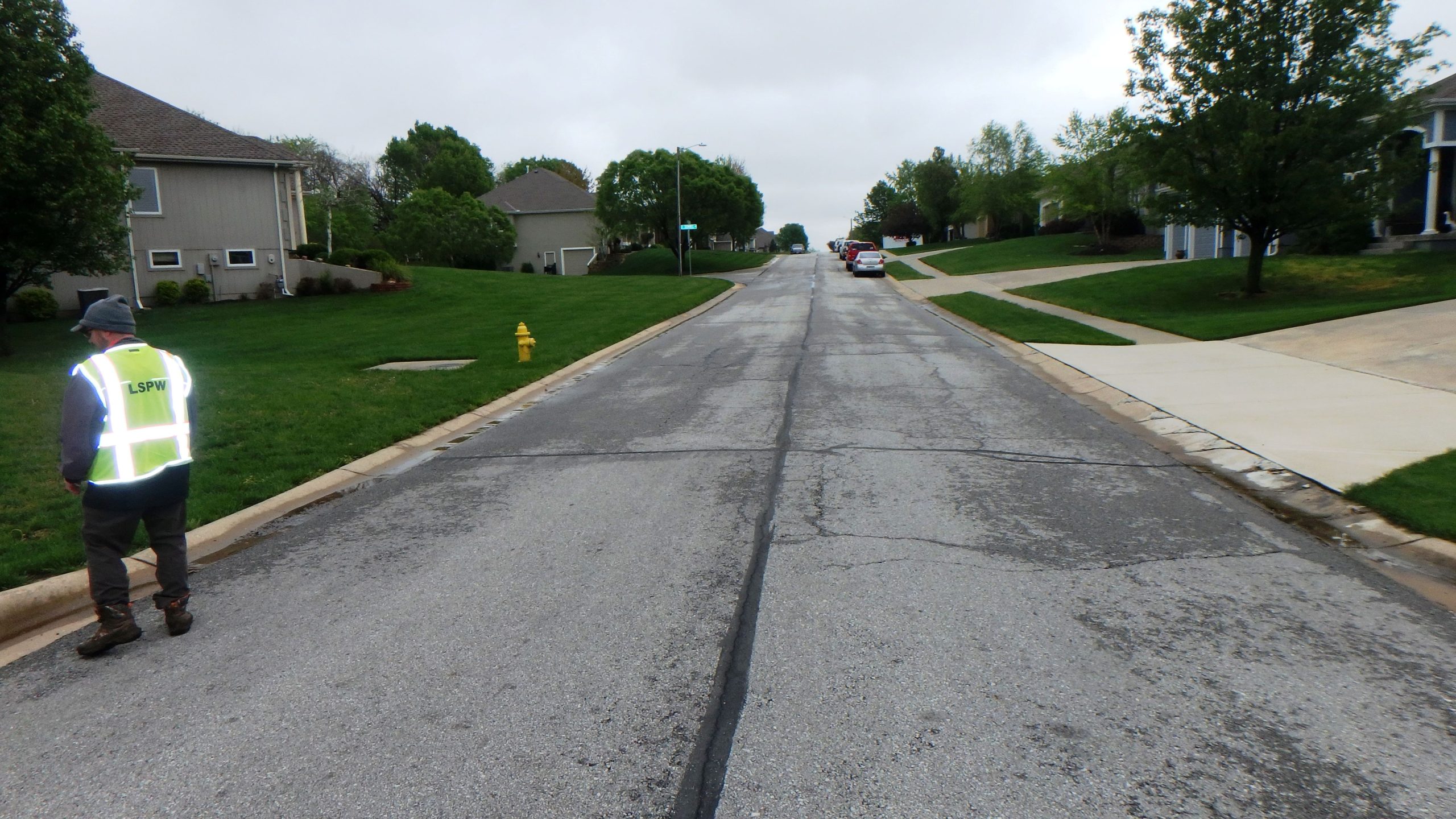
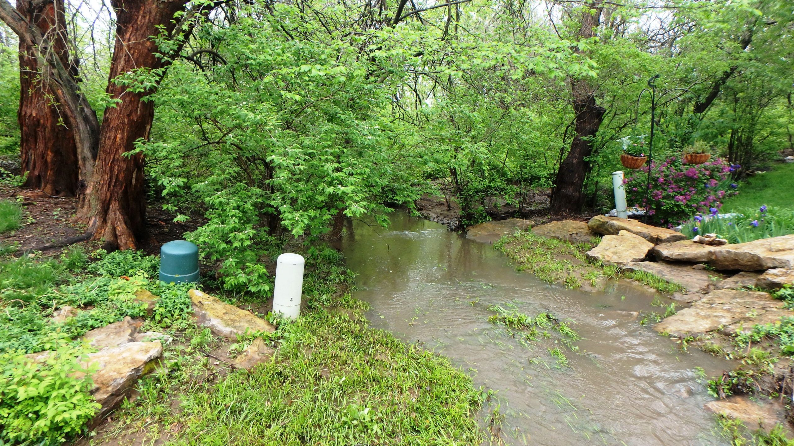
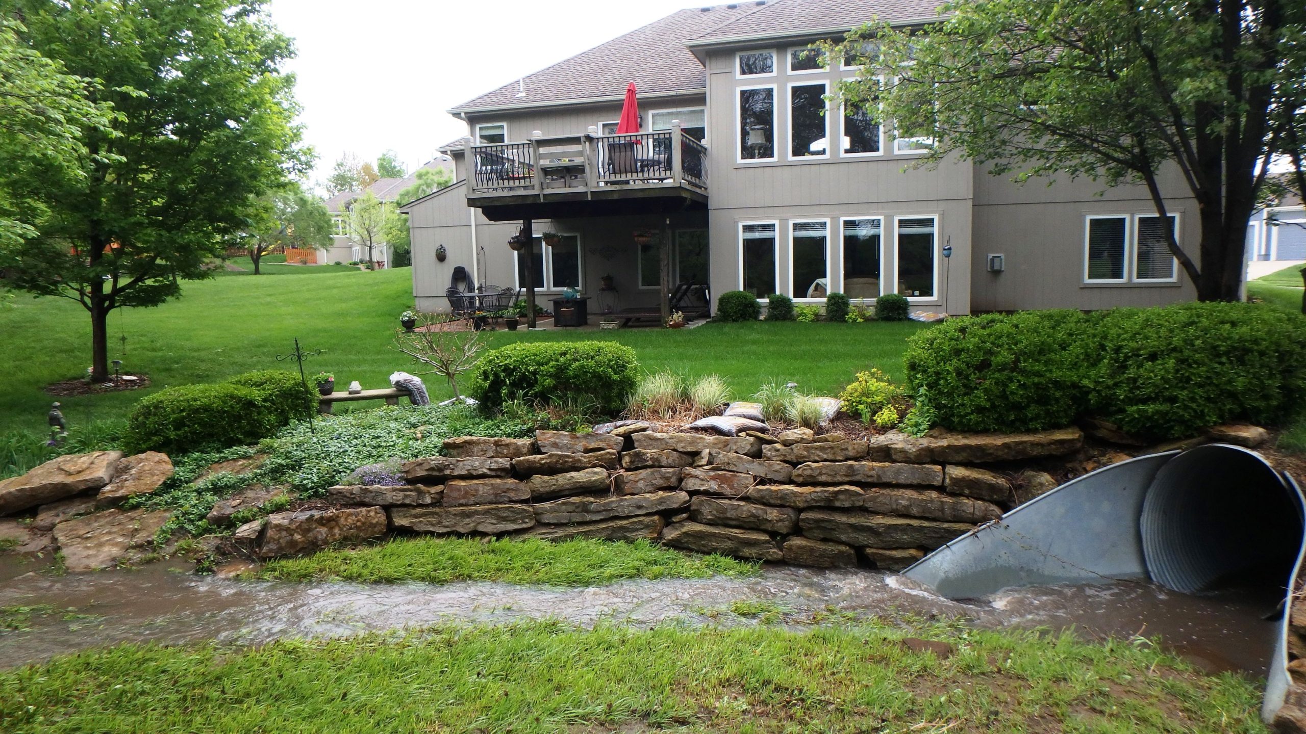
| This project illustrates Intuition & Logic Engineering, Inc. (I&L) flood control, hydraulic and hydrologic analysis, and enclosed system design capabilities. I&L was retained by the City of Lee’s Summit to analyze the flooding problems and develop solutions to reduce flood risk and protect properties along SE Hackamore Drive and SE Secretariat Drive during storm events up to the 1% Annual Exceedance Probability (AEP) storm. Roadway flooding is reported on SE Hackamore Drive and structure flooding at 216 SE Hackamore Drive,220 SE Hackamore Drive and 4409 SE Secretariat Drive. There is yard flooding at 4313, 4321, 4405, 4409 SE Secretariat Drive and 300 Saddlebrook Drive during high flow events. |
| Nine alternatives were developed to address the flooding during the 1% AEP storm. Alternative development included Hydraulic modeling in HEC RAS, hydrologic modeling in HEC-HMS, construction cost analysis, utility considerations, construction considerations, ROW, and environmental considerations. |
| The final design included removing 450 feet of existing 66” CMP and replacing with 72” RCP, replacing five 9’ diameter manholes, removing 72 feet of 54” CMP and replacing with 94 feet of 4’X6’ Concrete Box Culvert, Rock Grade Control, sidewalk-driveway-roadway pavement remove and replace, modular block retaining wall. The replacement work was performed near several structures and a residential pool. Several utility lines were relocated and included the relocation design of an 8” water main, fire hydrant, and service connections. |
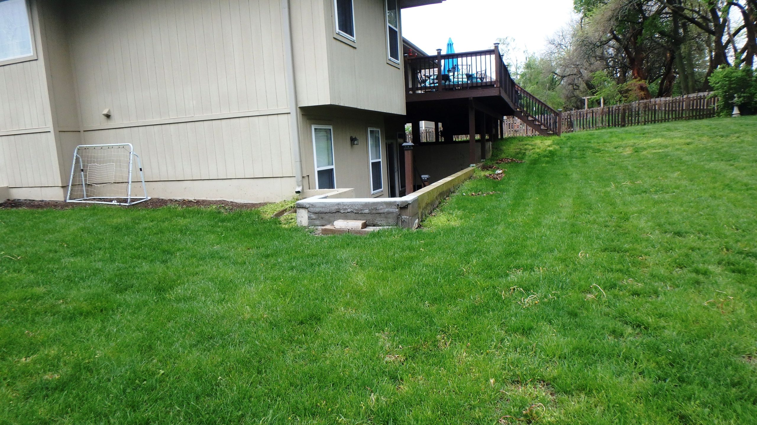
| The project also includes structure flood proofing of one home. The flood proofing was performed per FEMA Technical Bulletin 10-01 included filling of the rear lot with low hydraulic conductivity fill, constructing stairwell and stairs to the basement door. An 8 ft tall retaining wall was needed at the edge of the fill to keep the floodproofing from encroaching upon the Floodway of Tributary G1. |
| I&L is the lead firm providing project management, identifying and developing alternatives, public meetings and resident coordination, alternatives analysis, coordination with developers and land owners, engineering design, final design plans in AutoCAD Civil 3D, easements, specifications, permitting including FEMA No-Rise Certification and USACE 404, cost, and bidding support services. Surveying services were provided by I&L’s sub consultant Anderson Surveying and geotechnical services were provided by I&L sub consultant Geotechnology. |
| The project also included floodplain re-mapping of Tributary G1 from the confluence with Lake Winnebago to the upper headwater reach. Previous reaches of un-numbered Zone A floodplain were mapped as a numbered Zone AE with Floodway. |
Project Details
Key Personnel:
- Tim Dean, PE, LEED AP, CFM
- Mark Meyer, PE, CFM
- Matt Auld, ENV SP
- Jenna Stombaugh, EI
Project Features:
- Flood Control design
- Hydraulic and Hydrologic Modeling
- HEC-RAS
- HEC-HMS
- FEMA CLOMR
- ROW and Easements
- Permitting
- Utility Coordination
- Plans and Specifications
Year:
- Design: 2020-2021
- Construction: 2022-2023